
Welcome to our Community Highway Scheme Page
We are working with West Wittering Parish Council, West Sussex County Council and West Sussex Highways to improve our local area, here you will find details of the Community Highways Scheme that we presented at the West Wittering Parish Council General Assembly on the 26th March 2024.
We are seeking feedback on the proposal and will provide all feedback to the Parish Council, please complete the contact form at the bottom of the page with your comments and you can also sign up for updates from West Wittering Estate at the same time.
Please click here, for the documents shown at the Parish Assembly.
What is a Community Highway Scheme?
A community highways scheme is a type of initiative often led by local government authorities in collaboration with residents and stakeholders to improve local road infrastructure, enhance road safety.
Where?
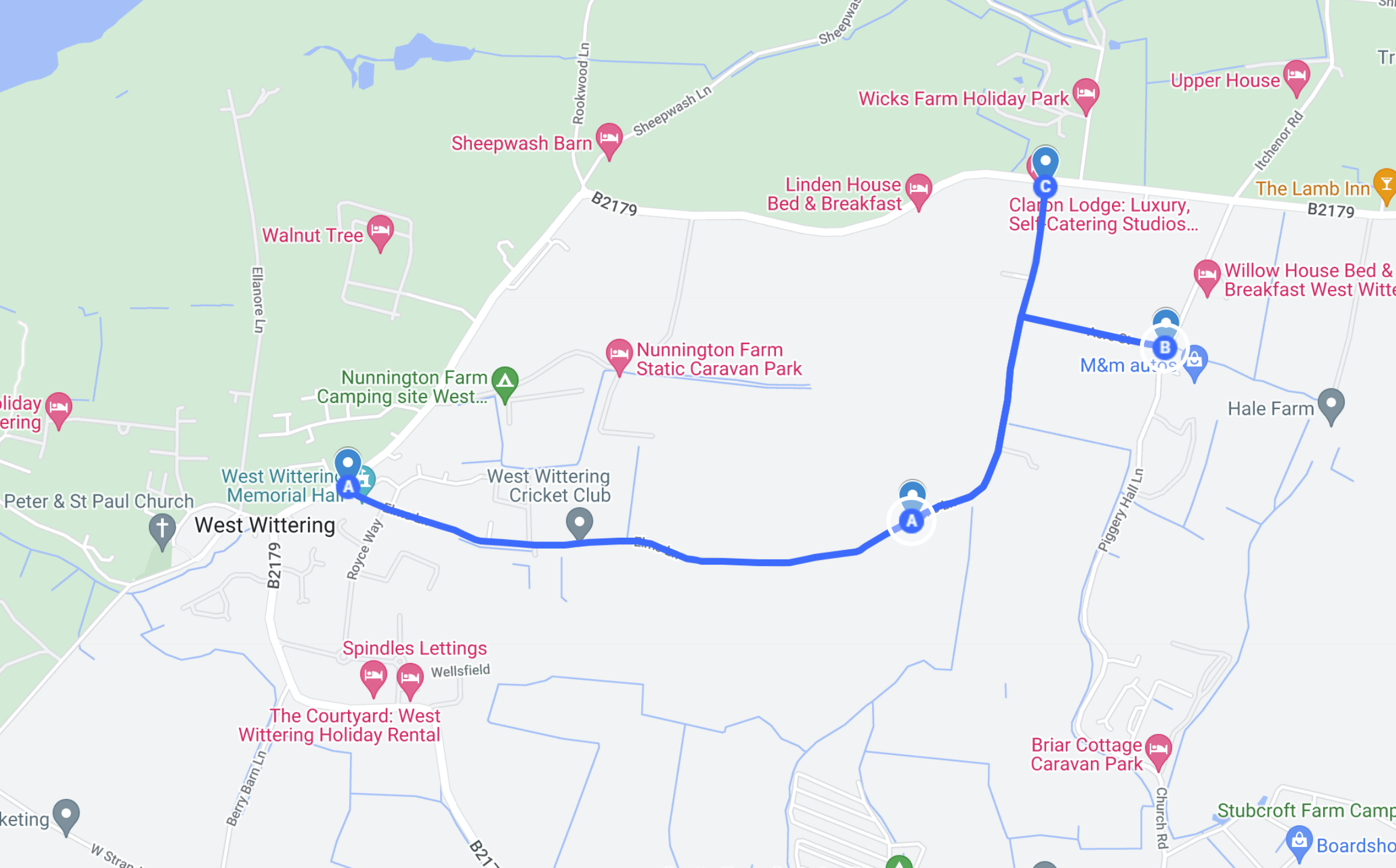
Elms Lane is an exceptionally narrow road, accommodating only one vehicle at a time, yet it is subject to a national speed limit, potentially allowing vehicles to travel at speeds up to 60 mph. This road is favoured by horse riders, cyclists, and walkers who prefer to avoid the busier main roads. Additionally, it is a crucial route for farmers who need access to their fields. The combination of high speeds and mixed use by various groups makes it a complex and potentially hazardous area.
Why?
During the summer, Elms Lane/Chapel Lane becomes a shortcut for drivers looking to bypass traffic. Navigation systems mark it as a national speed limit road with little traffic, recommending it to reduce travel time. However, the road's narrowness often leads to congestion, prompting drivers to leave their vehicles behind. This makes the road impassable, preventing emergency services from accessing the area, leading to the cancellation of cricket matches, and hindering farmers from harvesting their crops.
The road becomes very dangerous to walkers, cyclists and horse riders.
The Initial Proposal
With the support of the community West Wittering Estate would like to apply for the following -
Implement “NO MOTOR VEHICLES, EXCEPT FOR ACCESS” in Chapel Lane, Elms Lane and Acre Street
Reduce the speed limit to 30mph
Included double yellow lines on the south side of Elms Lane around the junction with Royce Way
Include double yellow lines on the north side of Elms Lane around the junction with Elmstead Park Road
Potential Improvements
This proposed action aims to eliminate Elms Lane/Chapel Lane from navigation systems as route options, ensuring that these roads are not suggested for through traffic or rerouting. Notably, this plan involves no hard infrastructure changes, such as physical barriers, thereby allowing uninterrupted access for residents, their guests, delivery services, farmers, and anyone else needing to use these roads. Residents will have the flexibility to use their vehicles freely, even on days when traffic is heavier than usual.
Additionally, the road will be maintained in a clearer state, enhancing accessibility for emergency services when necessary.
This initiative is also in alignment with the Parish’s local development plan, enhancing safety for all, particularly more vulnerable road users, in line with Community Aspiration 9 and 14.
Furthermore, the community plan proposes designating Elms Lane as a quiet lane. While this designation does not prohibit vehicle use, it encourages drivers to exercise greater caution and reduce their speed. The primary goal of this proposal is to deter through traffic by individuals not visiting local properties or businesses, thereby preserving the tranquility and safety of the area.
Potential Impact
It is important to recognise that while this plan may alleviate traffic on Elms Lane/Chapel Lane, it could inadvertently impact other areas of the village. As navigation systems cease directing drivers to use Elms Lane as a bypass, they may reroute traffic through Piggery Hall Lane and onto Cakeham Road. The traffic on these routes has direct access to the beach, potentially causing delays for vehicles traveling directly from Chichester.
To manage the increased traffic on peak days, such as when events are sold out, we plan to implement a Stop/Go traffic management system. However, it's crucial to note that the resources for this system are shared across the southeast and might be redirected in response to emergency road closures elsewhere. This could limit our ability to consistently manage traffic flow effectively under this system.
What Happens Now?
We are currently gathering community feedback on this initiative through this page. Once collected, we will present all responses at an upcoming Parish Council meeting. If the proposal garners sufficient support from both the Parish and County Councils, we will submit an application to West Sussex Highways to implement the scheme. Subsequently, West Sussex Highways will carry out a feasibility study and conduct risk assessments to ensure the viability and safety of the proposed changes.